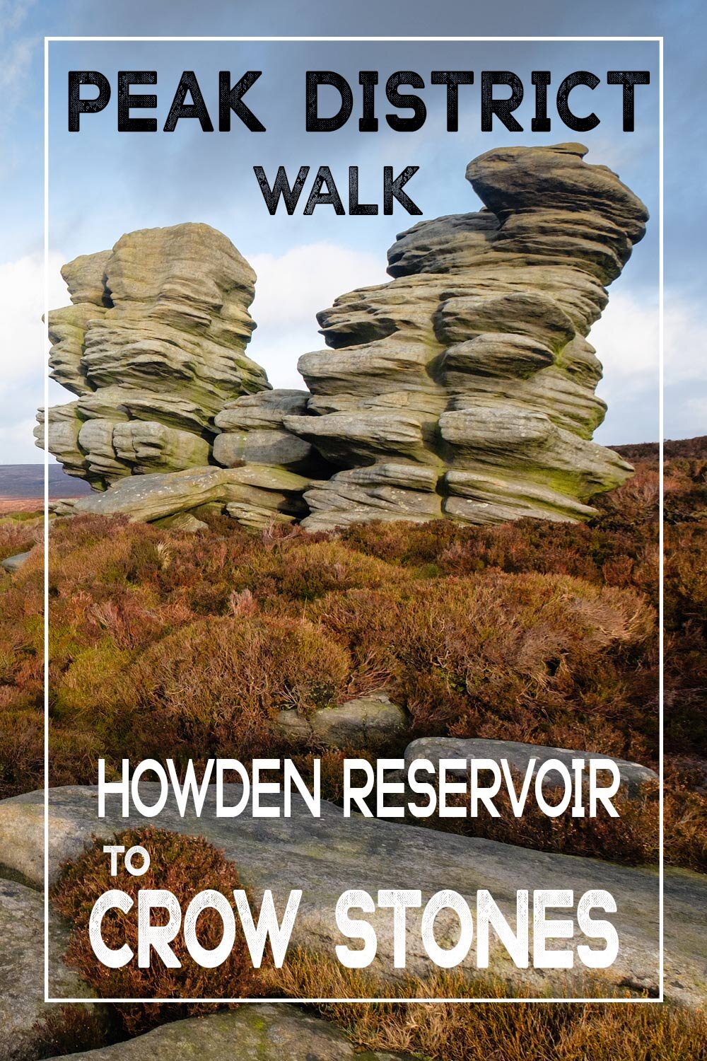
Howden reservoir to crow stones, Howden moor walk
Howden reservoir in the peak district is a beautiful area and walks around the shoreline can be spectacular on a calm day, especially during Autumn.
This circular walk starts at the very end of the road on the most northerly tip of Howden reservoir GRID REF. 53.4452°N 1.7456°W Just follow the road from Fairholmes visitor centre until you reach the end.
Fairholmes visitor centre address
Fairholmes
Bamford Hope Valley
S33 0AQ
CIRCULAR ROUTE ELEVATION: APPROX 300 METERS
CIRCULAR ROUTE DISTANCE: APPROX 5 1/2 MILES
DIFFICULTY: Easy to MODERATE going STRENUOUS at Broadhead clough
I believe the road is closed at the weekends but you can park at Fairhomes visitor centre and take a bus which runs every thirty minutes. you should check this before you go for timings though.
You can view the website here for more information on opening times.https://www.peakdistrict.gov.uk/visiting/visitor-centres/derwent
After reaching the end of the road you should be able to find free roadside parking most of the year.
The grid ref for the start of the walk is 53.4452°N 1.7456°W
WALKING TO CROW STONES FROM HOWDEN RESERVOIR
looking north you will be able to see a road gate and smaller pathway gate. Head through the gate and follow the path around and over a small concrete bridge. Directly ahead you will see the path heading straight into the woodland, keep going and the reservoir will be on your right for about a mile before it eventually dwindles into the River Derwent. Just stay on this gravel road for about a mile until you eventually reach slippery stones ford. You can cross the river Derwent here during the summer, but at other times of the year be very careful because as the name suggests these stones are particularly slippery.
If the ford is impassable just retrace your steps slightly until you find the road again and keep heading north. After a hundred yards or so, you will find a beautiful arched stone bridge. A great spot for a picnic or quick breather before you head up to the summit of Howden moor.
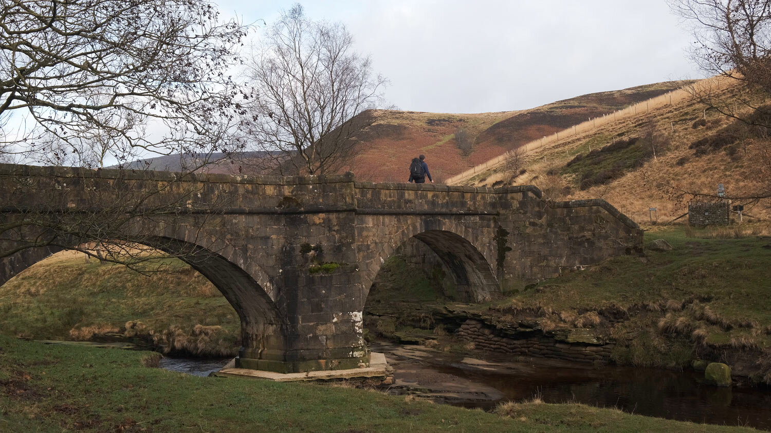
After walking off the bridge stay left on the well-marked gravel path. Soon you will come to a fork in the path that takes you to either right to cranberry clough or left to swine side. Take the left path and follow the river Derwent up the steady well-made track for 1/2 a mile or so. You will see that the river Derwent will be below you to your left about 50 yards away.
After a while, you will reach a smaller right-hand turn which heads directly up Broadhead Clough. take this right turn and follow your nose all the way to the top of the moor. A little way up there is a left turn that follows a fence line, don't take this turn, keep heading slightly right and straight up the hill.
Gradually the quadbike track becomes smaller and smaller until it eventually dwindles completely,

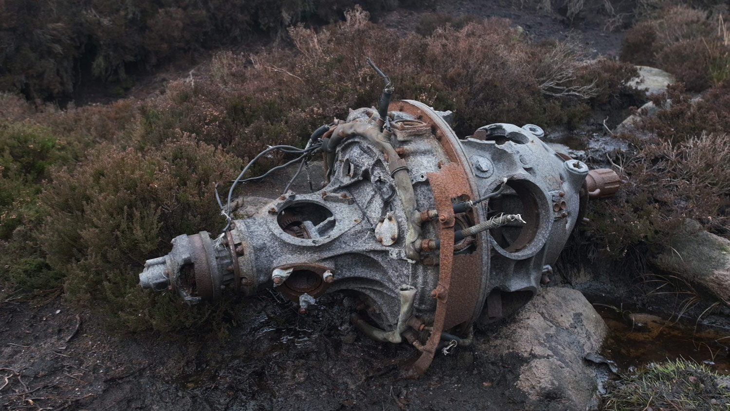
you will need to look for the grouse buttresses here and head that way. Navigating through the heather can be a little tricky but you should be able to find some natural and man-made paths which head north at around 500 meters in elevation. If you look for some posts sticking out of the heather you will find the Icelandic airlines crash site. The posts are in fact crossing that were put in to remember the 3 pilots that lost their lives here on the 12th of April 1951. There is still a lot of aircraft debris to be found at the site including one of the engines and lots of twisted fuselages.
From the crash site, you will be able to see crowstones edge if you look directly north-west. Find a path and head through the heather to crowstones edge. The walk to crowstones edge is tricky in places, especially during the wet winter months. It can get very boggy and I managed to find some very deep holes just off the path, so navigating in the dark could be very dangerous indeed. The view from crowstones edge is spectacular, you will be able to get a good view of the reservoirs and in the evening sun, the side lighting here can make a great photo opportunity.

CHECK OUT MY CAMERA AND HIKING GEAR
From crowstones edge you will be able to see crow stones and rocking stones to the north-west, simply follow your nose until you reach these amazing rock formations. A truly special place in the evening light, another great photographic location. Crow stones mark the return point for this walk,

To get back to the reservoirs, simply retrace your steps. Whilst I was up at crowstones I bumped into a couple of other walkers and they told me that you can make this route into a circular walk by continuing north west and heading down Stainery clough back to the Derwent. I didn't have time to go that way so can't really comment on the route, but it might be worth a look if you fancy extending the route length by a mile and a half. I really enjoyed this walk, it definitely got the blood pumping on the way up, but easily doable in about 1 hour and 15 mins one way. I hoped you enjoyed the post, if you did, please be sure to share it with your friends.
CHECK OUT MY CAMERA AND HIKING GEAR
Take a look at my youtube video if you would like to learn more about the route